
Friday, March 29 (continued)
We leave Bloody Basin Road behind, cross to the west side of Interstate 17, and travel a dirt road over gently rolling hills. This is public land (Bureau of Land Management).

 The vast emptiness soothes my nerves and I find myself poking along at no more than 30 mph.
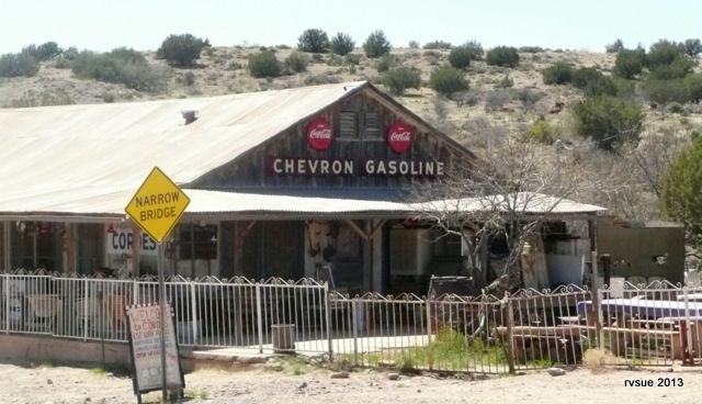
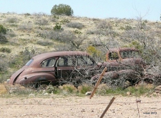
After about five miles we arrive at the ghost town of Cordes, abandoned by everyone except the Cordes family in the 1950s.
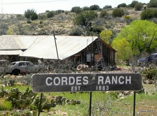
I don’t stop to nose around private property.
Instead I quickly take these drive-by photos and turn right at the stop sign.
 Before and after Cordes, good places to camp appear.
I stop at a potential camp and let out the crew. A photo cannot convey the glorious feeling of standing alone at the top of a knoll overlooking this grassy landscape, a cool breeze caressing my face on this otherwise hot day.
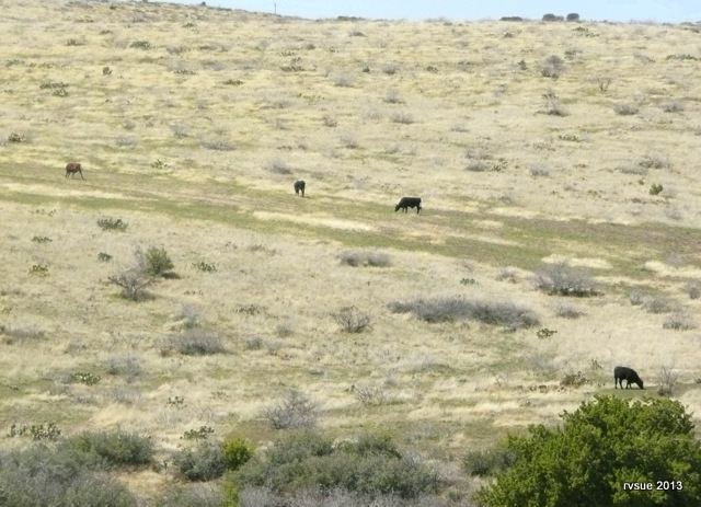
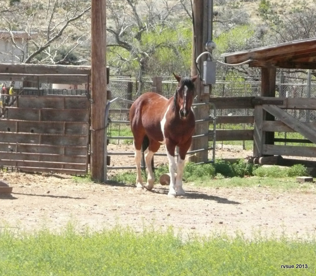
The land is empty except for cattle and animals that live in the wild. If it weren’t for the cactus plants, this would seem like Montana, rather than central Arizona.

I want a cozy campsite, so I keep going.

We travel to the little town of Spring Valley at Highway 69.
Interstate 17 is a few miles to the east. Rather than face that mess again, I turn us northwest onto 69 to drive twenty miles to Dewey. At the intersection with Highway 169 I find a shady spot, go back to the BLT, and retrieve some sliced turkey for me and the crew. I open up my laptop, turn on the Verizon card, and study the online Prescott National Forest map.
The map shows lots of camping on the north side of Highway 169.
I take it to the east. I turn onto Old Cherry Road which surprises me by leading into a neighborhood. As soon as I’m on this road, a sign appears announcing that the forest road I need is not accessible from here. The sign also includes other information that only a local would understand. Great. You coulda told me all this BEFORE I turned here.
In a very tight spot, I turn us around and get back on Highway 169. Further east I find another forest road that looks promising. It quickly disintegrates into deep ruts and rocks, and it looks like a favored location for drive-by trash-throwing. Again, a tight turn and we’re outta here.
It must be at least 3 o’clock and I’m weary.
Well, this side of Interstate 17 is no good. Lots of forest roads on the east side. Maybe we’ll have better luck over there. We cross the interstate and Highway 169 turns to dirt. After exploring the horribly rutted, washed out, winding, hilly, unmarked forest roads with no place to camp, I finally drive up a slope to a sweet, secluded spot by a very large juniper tree.
I hereby christen this camp Juniper Hill Camp!
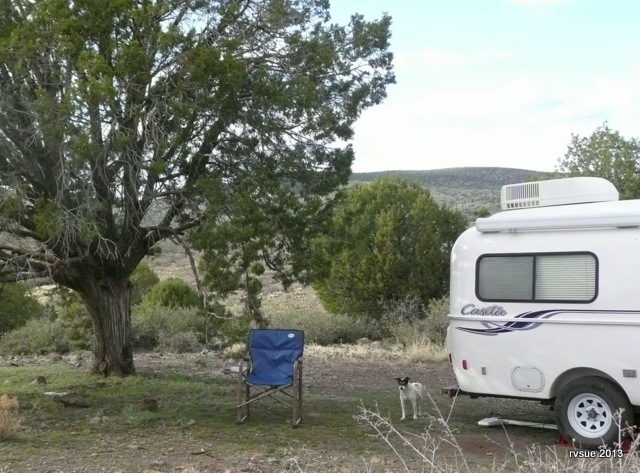
Later, worn out but happy, I turn my camp chair toward the west, and with Bridget and Spike at my feet I watch the sun set on this long, but memorable day.
 Below our camp and beyond the trees, the lights on the interstate reveal Easter weekend travelers continuing to make the mad dash toward their holiday.
rvsue
Note: Our Juniper Hill Camp is approximately 12 winding miles west of Camp Verde and 12 interstate miles north of Cordes Junction.


